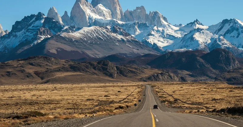
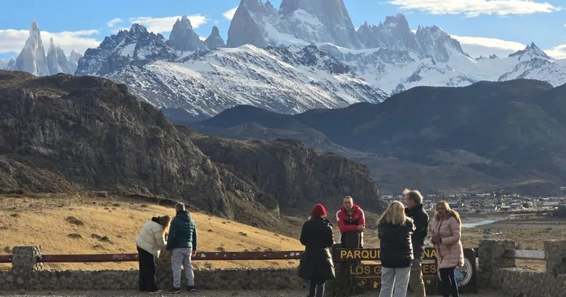
The trail from El Chaltén to Laguna de los Tres at the foot of the granite spires: how hard
the last hour is, when to go, and which tours from El Calafate really reach the lagoon.
Facts checkedTrail figures and park rules from Argentina's National Parks and the town's own sources
Real guest ratingsLive GetYourGuide figures, low review counts included
Refund terms per tourShown on every option, including the non-refundable ones
Secure checkoutBook on GetYourGuide, instant confirmation
Tours and treks
Choose your Fitz Roy tour
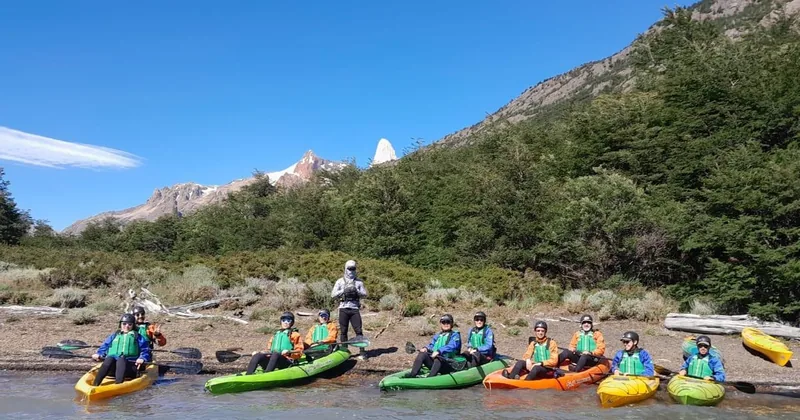
In the centre, the guided day that climbs all the way to Laguna de los Tres. On the left, the
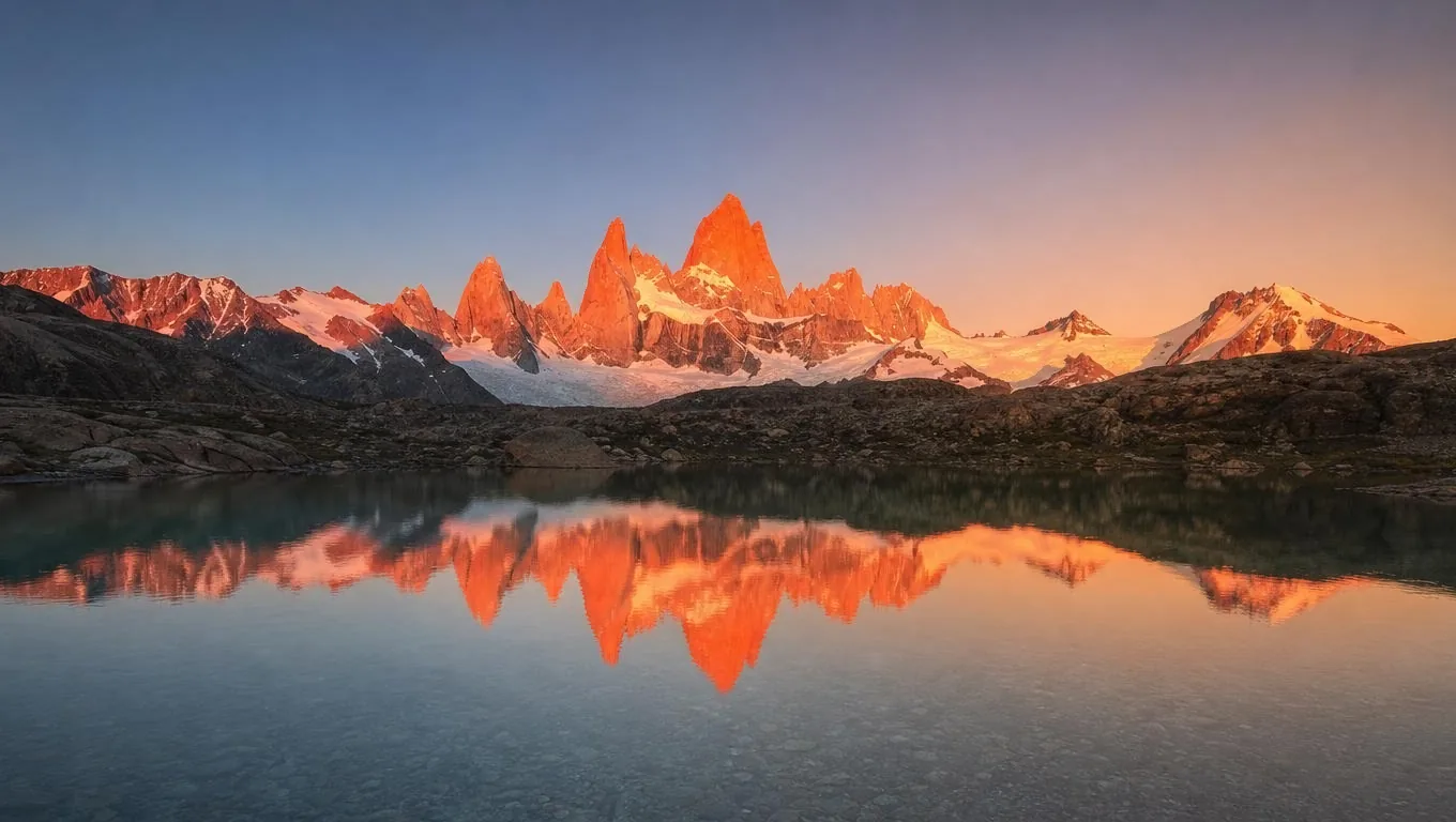
easier guided hike to Laguna Capri, with Fitz Roy mirrored in the lake. On the right, the most-booked day trip to
El Chaltén, with short walks.
The first row is the baseline: stay in El Chaltén and walk to Laguna de los Tres yourself, on the
clearest day of your stay. Each tour below adds something: transport from El Calafate, a guide on the steep last
section, a picnic, a sunrise, or simply an easier day.
The national park charges an access ticket for the El Chaltén trails in the main season,
sold online, and the tours list it as not included. The Laguna de los Tres guided trek runs on odd-numbered dates
only.
What the tour pages don't tell you
Most Fitz Roy tours stop short.
El Chaltén is about 215 km from El Calafate, around 3 hours each way, so the popular day trips have
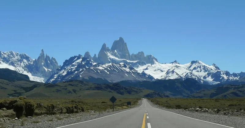
time only for short walks: the Condor viewpoint above town and the Chorrillo del Salto waterfall. You see Fitz
Roy across the valley on a clear day, which is lovely, but you don't walk to its foot.
The real hike goes from the north end of town to Laguna de los Tres, about 20 to 25 km round trip and
8 to 9 hours, ending with a steep hour on loose rock. Only two tours from El Calafate go that far. The simplest
plan is to stay two or three nights in El Chaltén and hike on the clearest morning, because the Tehuelche
name Chaltén means the smoking mountain, and the summit often wears a cap of cloud.
3,405 m
the height of Monte Fitz Roy on the Argentina-Chile
border. The hike ends at the lagoon, around 1,170 m; the summit is technical alpine climbing.
El ChalténLaguna CapriPoincenotLaguna de los TresCerro Torre
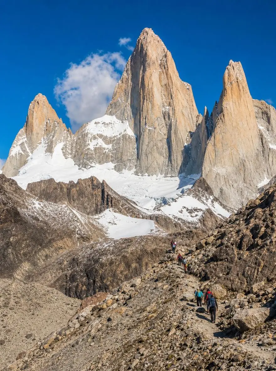
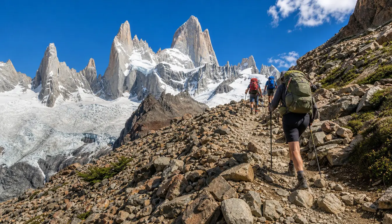
The last hour: the moraine climb to the lagoon.
01
Need a guide?
No. The trail is well marked; a guide helps if you only have a day from El Calafate.
02
How long?
8 to 9 hours to Laguna de los Tres and back, about 4 hours for Laguna Capri.
03
When?
November to March for long days and a clear trail; April for autumn colour.
04
Ticket?
A park access ticket in the main season, bought online; campsites need a reservation.
The day hike
El Chaltén to the lagoon in four stages
The classic out-and-back from town, with the one-way times the national park gives. Start early:
morning light is best on the granite, and you want to be back in town before dark.
01
The trailhead
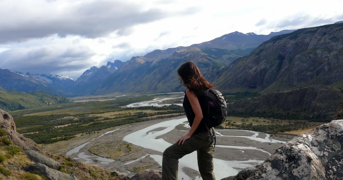
At the north end of Avenida San Martín. The path climbs above the Río de las Vueltas, with a viewpoint over the valley after about 20 minutes.
From town, on foot
02
Laguna Capri
About 4 km and 1 hour 45 minutes in, a lake in the forest with Fitz Roy behind it. A fine goal on its own, and a campsite.
The first big view
03
Poincenot
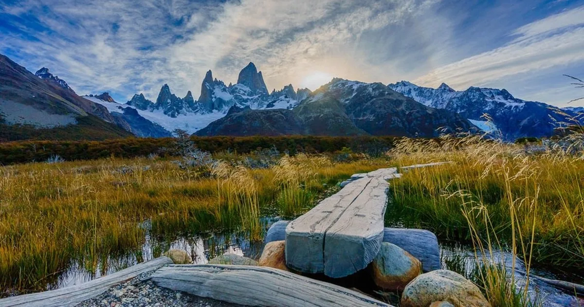
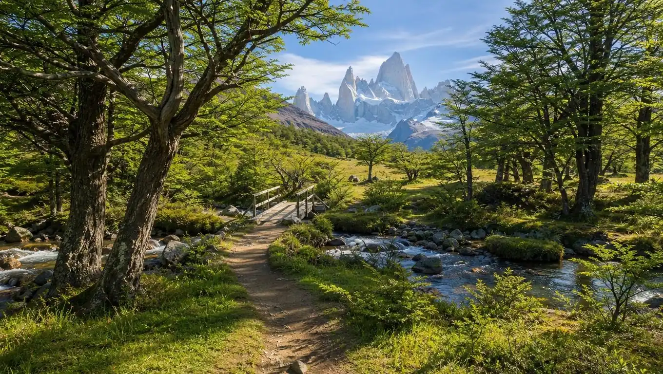
A gentle walk across open meadows and streams to the Poincenot campsite at about 8 km, then a bridge over the Río Blanco.
The easy middle
04
Laguna de los Tres
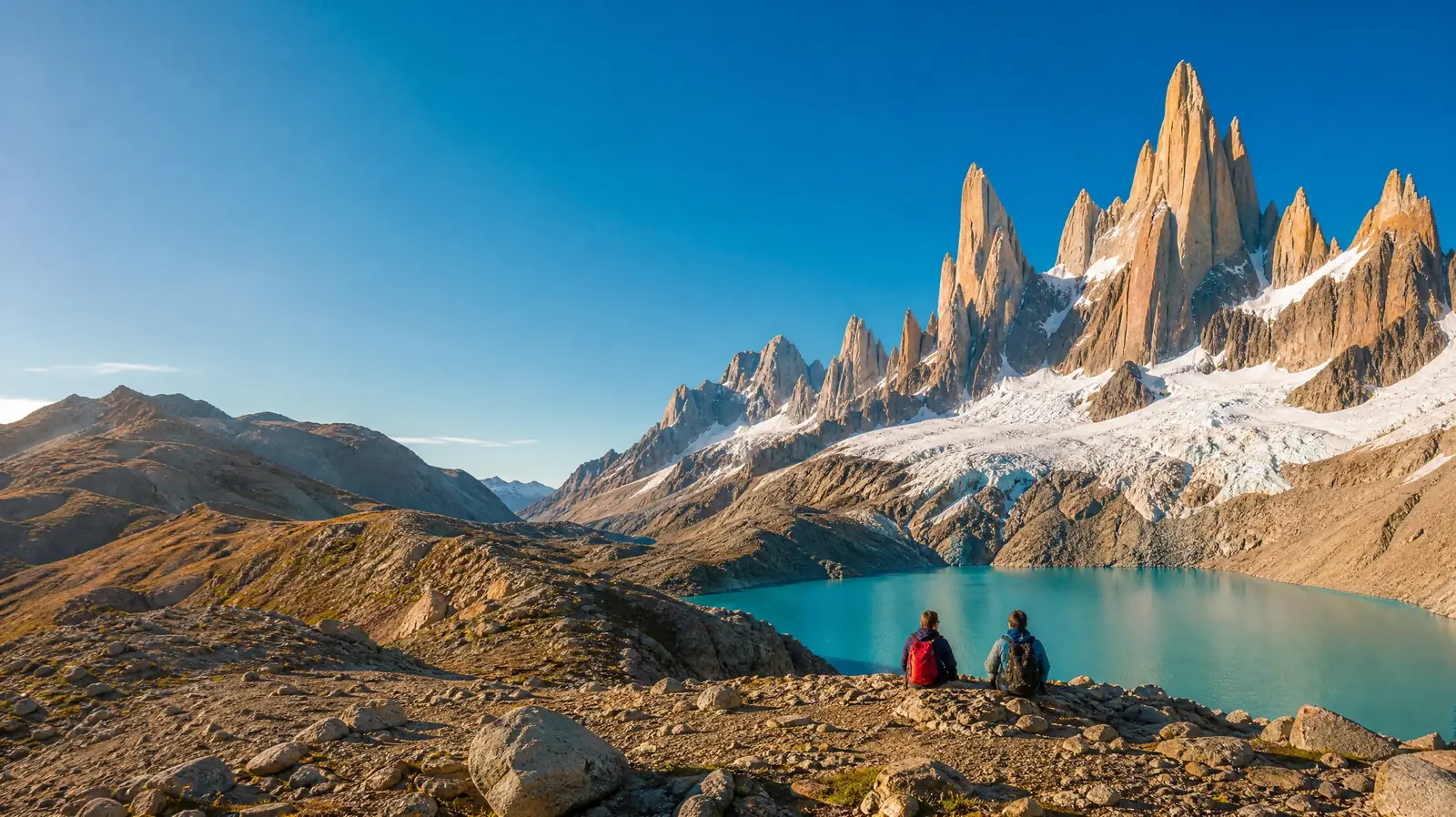
About 400 m up in roughly 1 km on steep, loose rock, a little over an hour, to the rim above the turquoise lagoon.
The walks around El Chaltén, how to reach the town, what goes in your pack and the park rules to know.
Mirador de los Cóndores: about 1 km up from the visitor centre, 30 to 45 minutes, the easy sunset view of Fitz Roy.
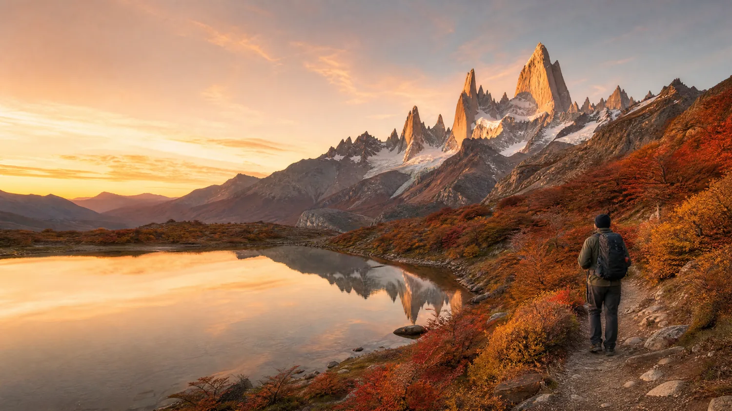
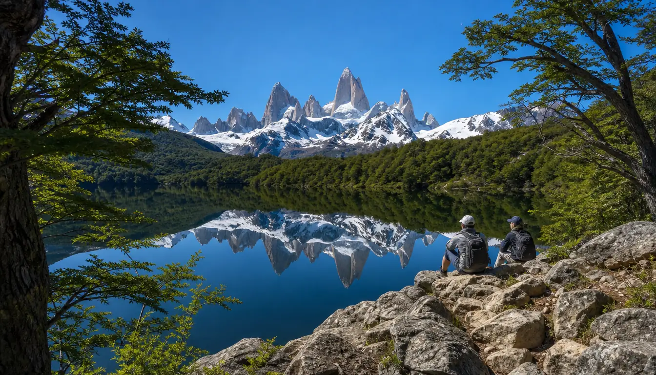
Laguna Capri: about 8 km round trip and 4 hours, Fitz Roy reflected in the lake on calm mornings.
Laguna de los Tres: about 20 to 25 km round trip, 8 to 9 hours, the closest view of Fitz Roy on foot.
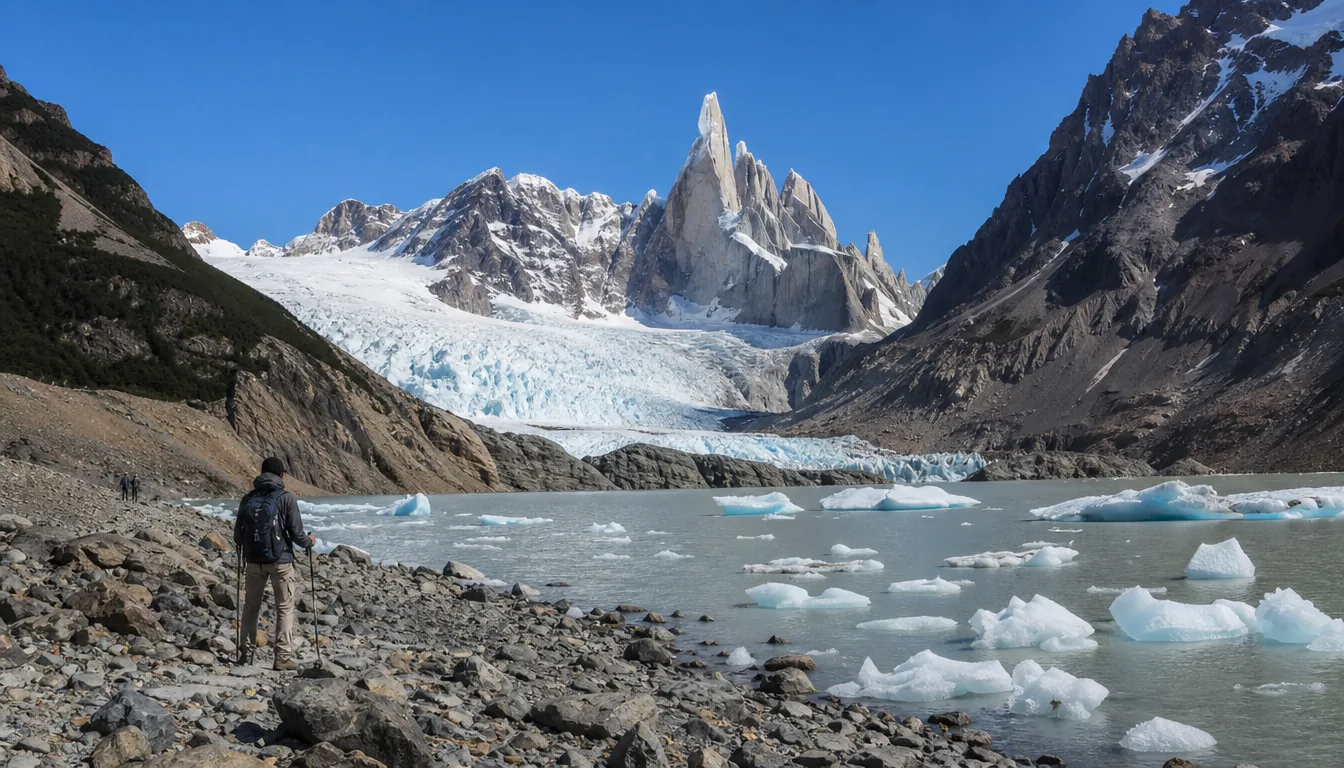
Laguna Torre: about 18 km round trip, 6 to 8 hours, a gentler valley walk to the lake below Cerro Torre.
Loma del Pliegue Tumbado: about 20 km and 1,000 m of climbing, a big panorama of both ranges.
From El Calafate: about 215 km north, around 3 hours by bus or car on paved roads.
By air: El Calafate airport (FTE) is the nearest; El Chaltén has no airport.
Day tours: pick you up in El Calafate; most include short walks, two reach Laguna de los Tres.
Stay in town: two or three nights in El Chaltén give you a choice of clear days.
El Pilar start: a morning shuttle to Hostería El Pilar, about 15 km north, lets you hike back via Piedras Blancas.
Layers: a warm fleece, a windproof and waterproof jacket, hat and gloves, even in January.
Feet: broken-in hiking boots with good grip for the loose final climb and descent.
Poles: a real help on the steep way down from the lagoon.
Food and water: lunch and snacks for the day; the park describes its stream water as pure.
Sun and light: sunglasses, sun cream and a headlamp for an early start.
Access ticket: the park charges for the El Chaltén trails in the main season; buy it online before you go.
Campsites: Laguna Capri and Poincenot need a reservation; there is no campsite at the lagoon.
Not allowed: dogs, drones, campfires and bikes on the trails.
No signal: there is no mobile coverage on the trails; tell someone your plan and dial 911 in an emergency.
Latest news: check trail and weather conditions at the national park visitor centre, or the park website.
3,405 mMonte Fitz RoyOn the border with Chile.
1,170 mLaguna de los TresThe hike's goal.
400 mEl ChalténWhere the trail starts.
1877NamedBy Perito Moreno, for Robert FitzRoy.
1952First ascentLionel Terray and Guido Magnone.
1985El ChalténFounded, now the Trekking Capital.
Where it starts
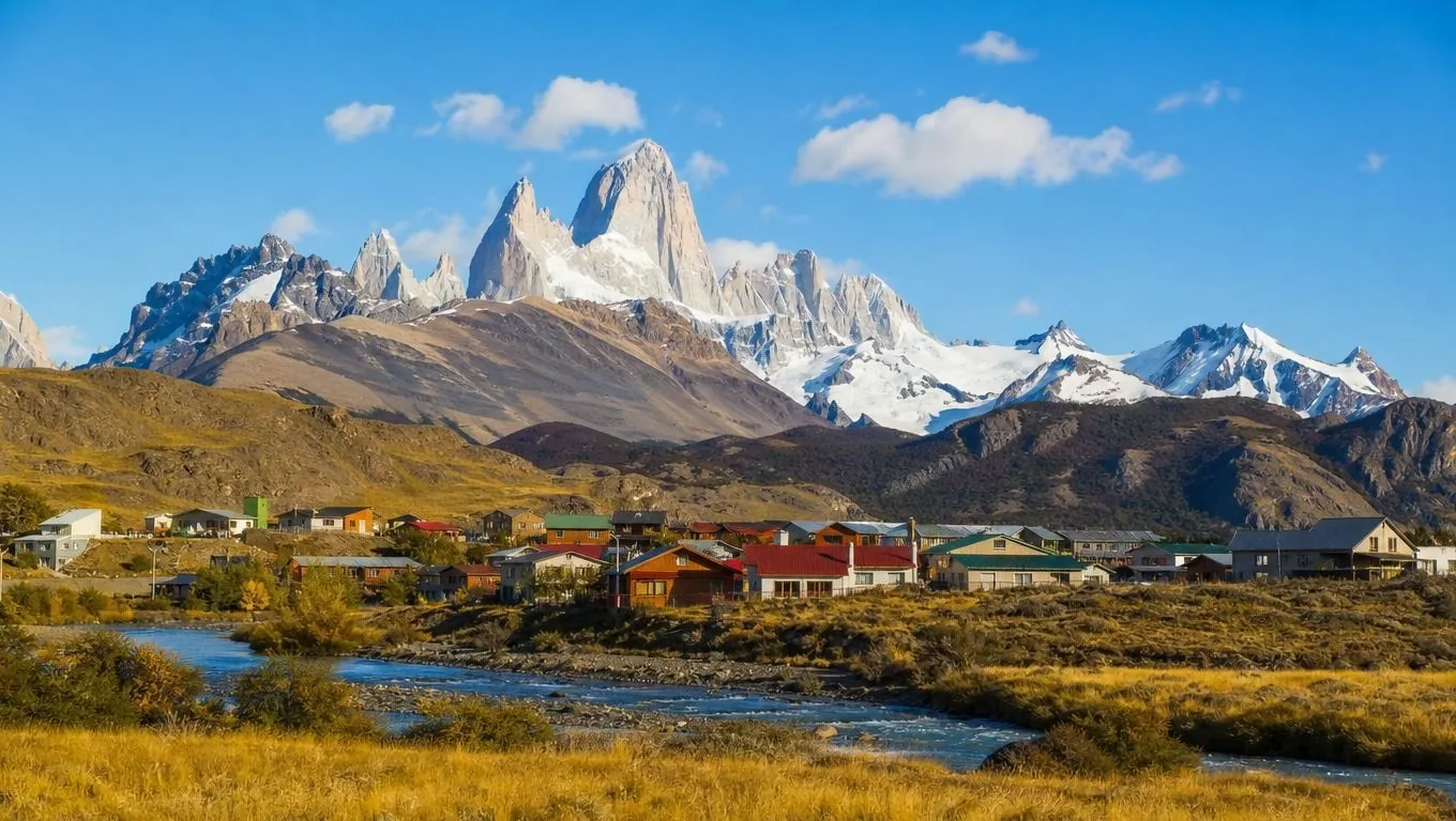
El Chaltén, the trailhead
The Fitz Roy trailhead in El Chaltén
North end of Avenida San Martín, El Chaltén, Santa Cruz
The trail to Laguna Capri, Poincenot and Laguna de los Tres starts on foot where the town's main street ends.
Before your first hike, stop at the national park visitor centre at the entrance to town, just before the
bridge over the Río Fitz Roy, for the day's trail and weather update. The Condor viewpoint and Pliegue Tumbado
trails start there; the Río Eléctrico entrance, for the El Pilar start, is about 16 km north on the road to
Lago del Desierto.
4.9★★★★★ 7 reviews · Laguna de los Tres Guided Trek GetYourGuide figure
★★★★★
All the guides were so amazing. They were very considerate and took great care of my mom. Honestly, everything about the tour went so smoothly and I would do this again only with these guides.
★★★★★
Clear skies, fall foliage and all peaks visible. The feeling was indescribable. Martin was an excellent guide, with a very easy pace and great communication, and he stopped multiple times for pictures.
★★★★★
She stopped at a local cafe to let us grab breakfast and lunch before we trekked up to Laguna de los Tres. We finished the hike in 8 hours and she waited for us patiently, then drove us safely back to El Calafate.
★★★★★
Until you're actually in El Chaltén, you don't really realise how close the Fitz Roy massif is to the town. Even without any of the longer full-day hikes, you get amazing views, provided the weather complies.
★★★★★
El Chaltén is a village surrounded by natural beauty and has a real vibe to it. The trek to the lake and Mt Fitz Roy was a perfect introduction to this area. The path was good and the destination spectacular.
★★★★★
Be prepared for it to be very windy at the Condor viewing point and have layers of clothing. The waterfall, Chorrillo del Salto, was stunning and felt so peaceful, and everyone seemed respectful.
Passing through El Calafate?
See the glacier too
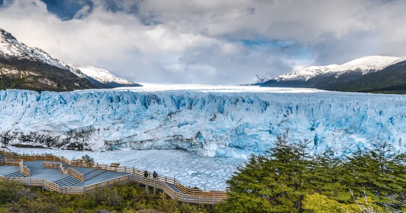
Almost every Fitz Roy trip starts and ends in El Calafate, and the most famous glacier in Patagonia
is an hour from town, in the southern half of the same national park.
Perito Moreno Glacier Day
★ 4.7 · 2,754 reviews · GetYourGuide
Every Fitz Roy trip passes through El Calafate, and the other half of Los Glaciares National Park waits an hour from town: about three hours on the boardwalks facing the Perito Moreno glacier, with an optional boat ride below the ice wall. Full refund if you cancel up to 24 hours ahead.
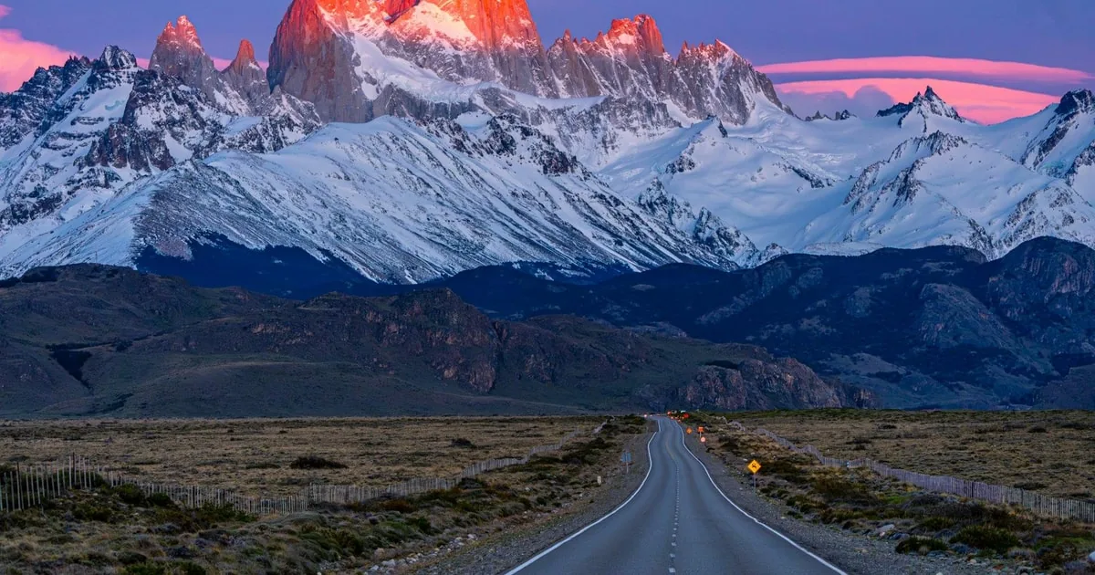
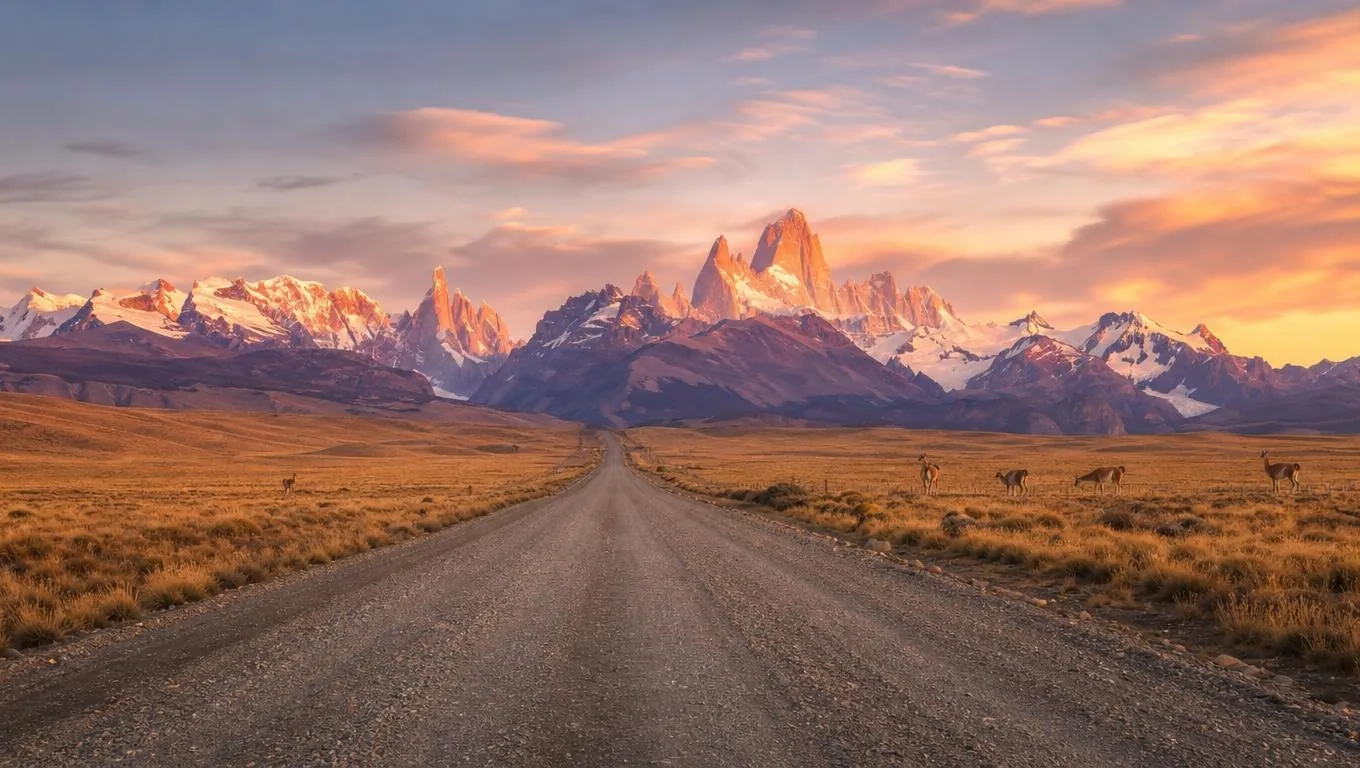
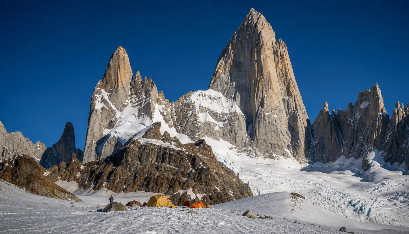
Monte Fitz Roy rises to 3,405 m on the border between Argentina and Chile, a tower of pale granite
above the forests of Los Glaciares National Park. At its foot lies El Chaltén, a small town founded in 1985 and
now Argentina's National Trekking Capital. You can't hike to the summit, which is a serious technical climb, but
you can walk from the town to a glacial lake right below the walls, and on a clear day it is one of the finest
views in the Andes.
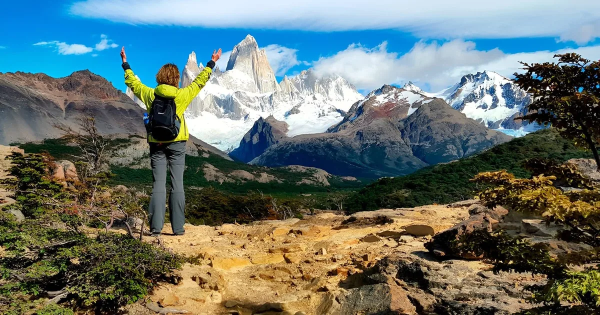
The walk to Laguna de los Tres
The trail leaves from the north end of El Chaltén's main street and climbs steadily above the Río de las
Vueltas into forests of lenga beech. After about 4 km you reach Laguna Capri, a quiet lake where Fitz Roy often
appears reflected in the water. From there the path runs gently across open meadows to the Poincenot campsite at
about 8 km and crosses the Río Blanco. The last section is the one everyone talks about: about 400 m of climbing
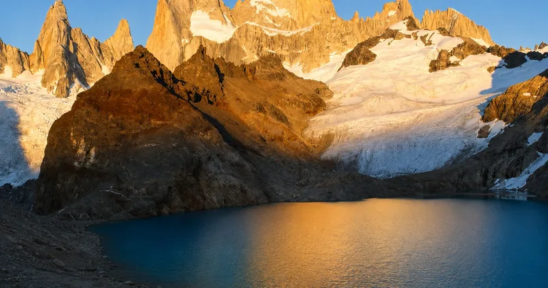
in roughly 1 km, up a moraine of loose rock, until you reach the rim and the turquoise lagoon opens below the
spires. The round trip is about 20 to 25 km, and most hikers take 8 to 9 hours.
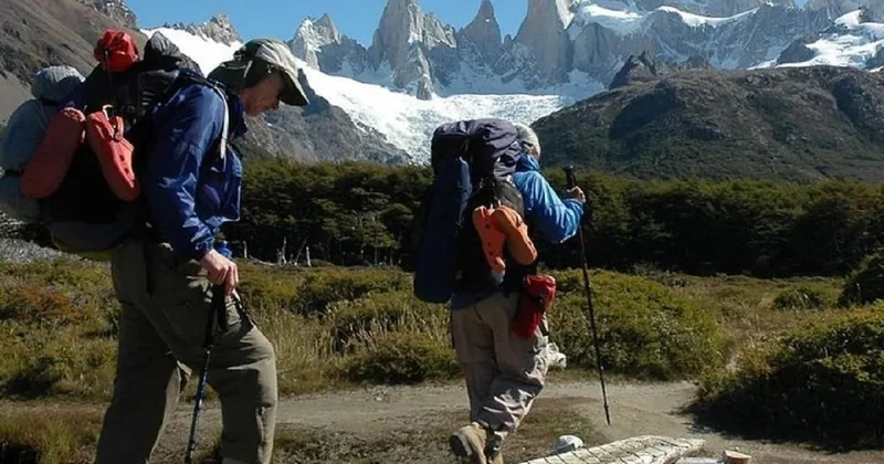
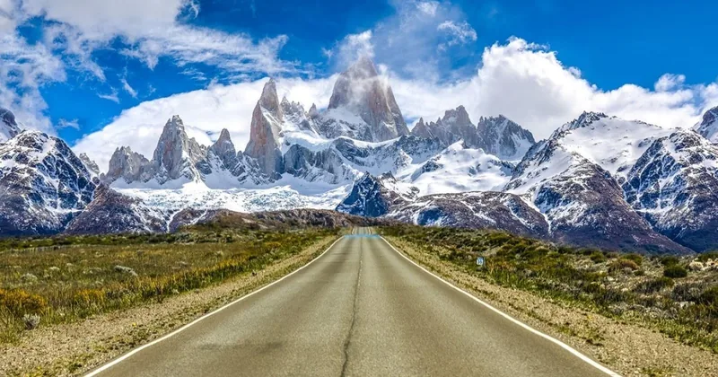
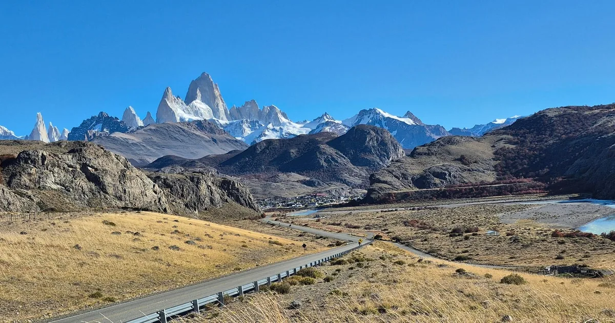
The spires from the approach, on a bright day.
How hard it really is
Most of the hike is moderate walking on a well-marked trail, and the park rates the whole route medium to high
difficulty because of that final hour. Take it slowly, use poles on the way down, and wear boots with good grip.
The highest point is around 1,170 m, so altitude is not a concern; wind and changing weather are. If the wind
picks up or cloud rolls in, turning back at Poincenot is a perfectly good day.
The honest small print: the popular day trips from El Calafate show you Fitz Roy from the
Condor viewpoint; they don't reach its foot. If walking to Laguna de los Tres is what you want, either stay in El
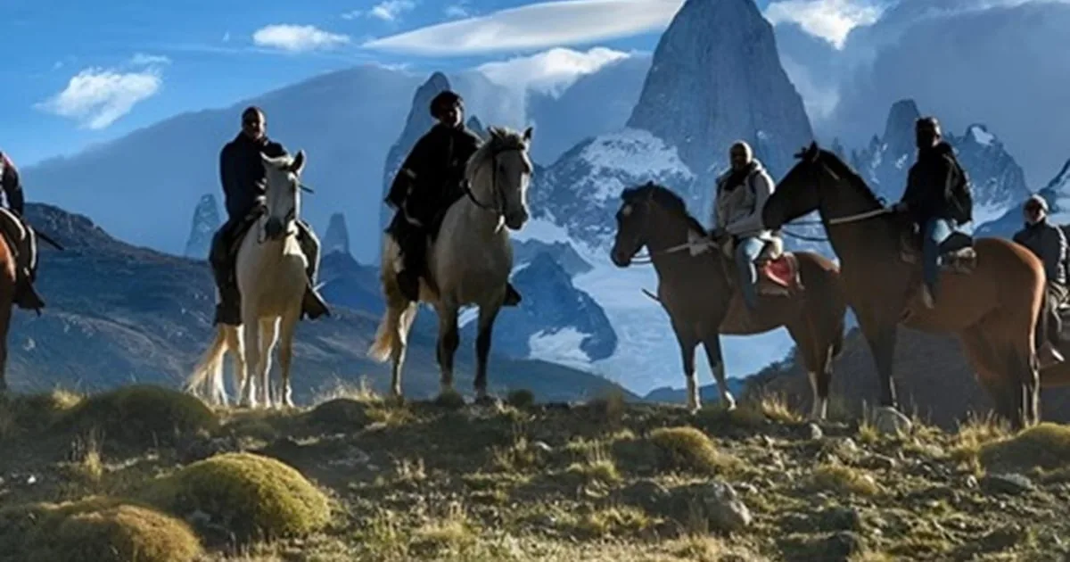
Chaltén for a few nights, hire a private car for a long day on your own, or book one of the two guided treks that
go all the way. The national park charges an access ticket for the trails in the main season, and the tours list
it as not included.
Shorter walks with big views
Not every day needs to be a long one. Laguna Capri alone is a rewarding half day. The Mirador de los Cóndores,
about 1 km above the visitor centre, looks straight across at Fitz Roy and is the classic sunset walk. Laguna
Torre, a gentler valley walk of about 18 km, ends at a lake with icebergs below Cerro Torre, and the Chorrillo del
Salto waterfall is an easy stroll north of town.
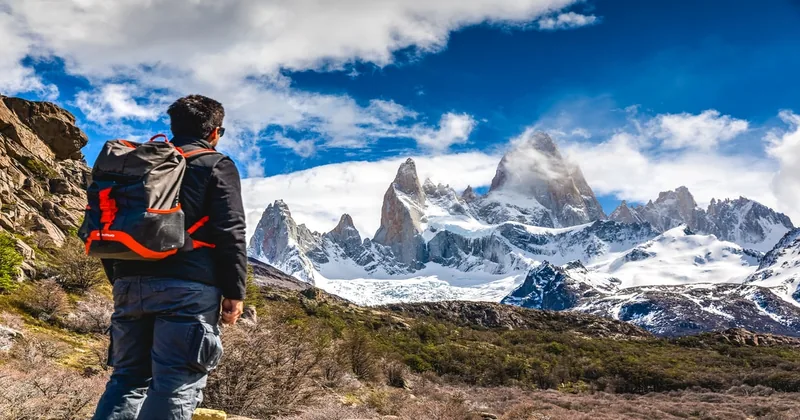
Laguna Capri: half the effort, the same mountain.
When to go
The best months are November to March, when the days are long and the trail is usually clear of snow. Around
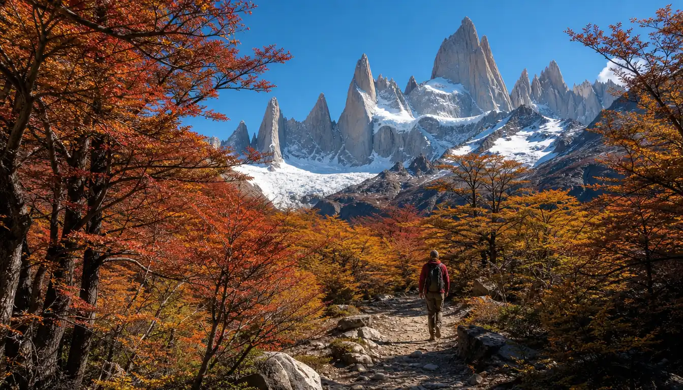
Christmas El Chaltén gets about 16 hours of daylight, compared with about 8 in June. April paints the forests red
and gold, with shorter days and the first snow on the final climb. From May to September the trails are winter
terrain and the park asks hikers to carry crampons and poles. In every month, pack a warm layer and a windproof:
the lagoon is cooler and breezier than town.
Laguna Torre, the other classic day hike from town.
Straight answers to what people ask most about hiking Fitz Roy.
How difficult is the Fitz Roy hike?
Moderate for most of the way, then hard for the last hour. The trail to Laguna de los Tres climbs gently through forest and meadows for about 9 km, then rises about 400 m in roughly 1 km on steep, loose rock. The park rates it medium to high difficulty, and fit walkers manage the round trip in 8 to 9 hours. More in how hard the Fitz Roy hike is.
Is Fitz Roy worth it?
Yes, on a clear day it is one of the great day hikes anywhere. Laguna de los Tres gives the closest view of the granite walls that you can reach on foot, with a turquoise lake and a hanging glacier at their base. The weather decides the view, so plan two or three flexible days in El Chaltén rather than one fixed date.
Can I hike to Fitz Roy from El Chaltén?
Yes. The trail starts on foot at the north end of town, at the end of Avenida San Martín, and needs no transport or guide. The park charges an access ticket for the El Chaltén trails in the main season, bought online before you set out. Stage by stage in the Laguna de los Tres trail.
How long is the Fitz Roy hike?
About 20 to 25 km round trip from El Chaltén to Laguna de los Tres, depending on the source and your detours. Most hikers take 8 to 9 hours, plus time at the lagoon. Laguna Capri, about 4 km from town, makes a much shorter goal with Fitz Roy in view.
Can you see Fitz Roy on a day trip from El Calafate?
Yes, but most day trips only see it. El Chaltén is about 215 km from El Calafate, around 3 hours each way, so the usual tour has time for short walks to the Condor viewpoint and a waterfall. Two guided tours go all the way to Laguna de los Tres, and a private car gives you about 8 hours to hike on your own. The options side by side in Fitz Roy from El Calafate or El Chaltén.
How warm is it at Fitz Roy?
Cool, even in summer. Summer days in El Chaltén usually reach the mid to high teens Celsius, with nights around 5 to 8 °C, and the lagoon is cooler and windier than town. Winter days hover near freezing. Pack a warm layer and a windproof jacket in every month; month by month in the best time to hike Fitz Roy.
Do I need altitude sickness pills for Patagonia?
Not for Fitz Roy. El Chaltén sits at about 400 m and the highest point of the hike, Laguna de los Tres, is around 1,170 m, far too low for altitude sickness. The challenges here are wind, changeable weather and the steep last section, not thin air.
Why is Fitz Roy famous?
For its sheer granite spire, one of the most striking skylines in the Andes, and its reputation among climbers as one of the hardest big peaks, first climbed in 1952. The Tehuelche called it Chaltén, the smoking mountain, for the clouds around its summit, it appears on the flag of Santa Cruz province, and its skyline inspired the logo of the Patagonia outdoor brand.
Is Fitz Roy hard to climb?
Yes, very. Reaching the 3,405 m summit is technical alpine rock and ice climbing for experienced climbers, with days of waiting for a weather window. It has nothing to do with the hike, which ends at Laguna de los Tres, about 2,200 m lower. More in climbing Fitz Roy vs hiking it.
Is it better to go to Patagonia in Chile or Argentina?
Both, if you can. The Argentine side has El Chaltén, with Fitz Roy and Cerro Torre as day hikes from town, and El Calafate with the Perito Moreno glacier. The Chilean side has Torres del Paine and its multi-day W Trek. Buses link El Calafate and Puerto Natales, so many visitors combine them. Compared in Fitz Roy vs Torres del Paine.
Do you need a guide for the Fitz Roy hike?
No. The trail is well marked and most people hike it on their own. A guide makes sense if you only have a day from El Calafate, want company on the steep final section, or want to reach the lagoon for sunrise. Registration is needed only for climbing and remote routes; the campsites need a reservation.
When is the best time to hike Fitz Roy?
November to March, when days are long (about 16 hours of daylight around Christmas) and the trail is usually clear of snow. April brings autumn colour and quieter trails but shorter days. From May to September the trails are winter terrain, and the park asks hikers to carry crampons and poles.
Ready to go
An early start, a long trail, the spires ahead.
Instant confirmation on GetYourGuide, with the refund terms shown on every option.

 Easier hike
★ 4.913 hours24 reviews
Easier hike
★ 4.913 hours24 reviews